
DJI Enterprise drone surveys with RTK correction. Accurate data for construction, cadastre and agriculture — from flight to finished model in days.
The same flight yields different results depending on the task. We tailor the route, accuracy and data format to your industry.
Progress and volume control on site without stopping work.
Up-to-date spatial data for territory management.
Data for agronomic decisions — from planting to harvest.
.jpg)
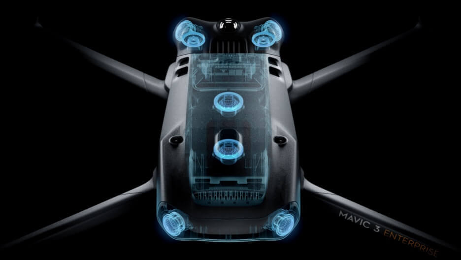
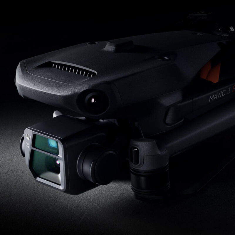
We fly DJI Matrice 4E RTK and DJI Matrice platforms — centimeter-level georeferencing without ground control points or field post-processing.
The built-in RTK module receives real-time corrections — every frame's coordinates are precise without manual referencing.
Captured footage goes straight to cloud photogrammetry — the model and orthophoto are ready without local servers.
For agro-monitoring, environmental analysis, and energy audits — NDVI vegetation indices and thermal maps in a single flight.
You do not receive "beautiful photos", but structured, professional geodata that is seamlessly compatible with your CAD, BIM, and GIS software.
Point clouds for direct processing in Revit, AutoCAD, and ArchiCAD.
Digital as-built plans, facade views, and contour lines.
High-resolution orthomosaics and Digital Terrain Models (GeoTIFF).
Photorealistic, textured 3D models for web visualization.
Geometric attribute data for interactive web databases.
We will survey a test area (up to 0.5 ha) of your current project free of charge. You will receive a point cloud or an orthomosaic to verify the data quality in your own CAD software before the project starts.